The Best Driving Roads in Germany: 7 Routes Worth the Detour
Seven real driving roads across Germany, chosen for what they are actually like to drive, not for how they photograph.

In this article
Germany has more genuinely good driving roads than its reputation for autobahns suggests. Seven of them are below, picked for what they are actually like to drive rather than how they photograph: a Black Forest ridge, three Alpine passes, a toll road that briefly leaves the country, a public motorsport circuit, a vineyard hairpin over the Mosel, and a highland route through the Harz. Each entry includes the specifics that decide whether a detour is worth it: length, elevation, tolls, and any current restriction.
The Schwarzwaldhochstraße, Black Forest
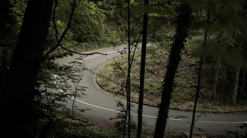
The Schwarzwaldhochstraße, officially the B500, runs about 60 kilometres along the crest of the Black Forest between Baden-Baden and Freudenstadt, passing Ruhestein and the Mummelsee on its way to the Hornisgrinde, the range’s high point at 1,164 metres. It is a genuine ridge road: long sightlines, steady curves, and a string of pull-offs where the forest opens onto the valley below.
The road is popular enough with motorcyclists that Baden-Württemberg’s transport ministry names the Unterstmatt-Mummelsee stretch among the state’s most-used motorcycle routes. That popularity has brought friction with residents over noise, and rumble strips went in near Helbingfelsen back in 2021 to slow riders down. There is no current ban or seasonal closure on the B500, unlike some of the roads further south in this list, checked 2026-08-04 against an actively maintained closures tracker.
The Oberjochpass, Allgäu
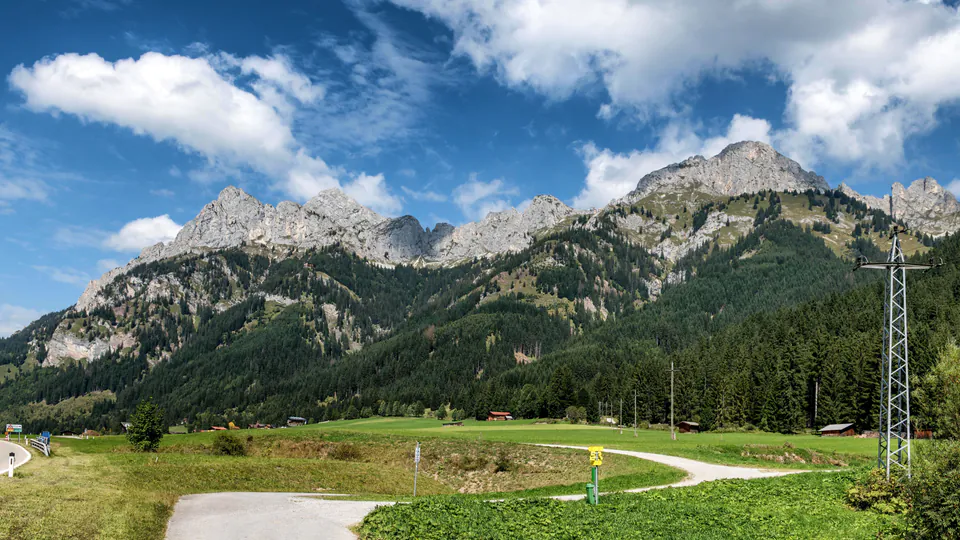
The Oberjochpass carries the road between Bad Hindelang and Oberjoch in the Allgäu, part of the wider Deutsche Alpenstraße that runs 484 kilometres from Lindau to Berchtesgaden. Built between 1895 and 1900, long before the rest of the touring route existed, it climbs 300 metres over a sequence of 106 curves and tops out at 1,178 metres. Several specialist route sites describe it as Germany’s most winding road; no official body ranks roads that way, so treat it as a widely repeated claim rather than a certified fact.
The Kesselbergstraße, Bavaria
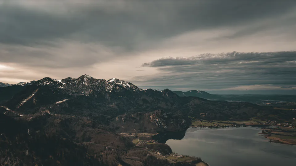
An eight-kilometre link between Kochelsee and Walchensee in Upper Bavaria, the Kesselbergstraße has carried traffic since the 15th century and hosted hillclimb races in the early 1900s. Today it carries a permanent 60 km/h limit and an overtaking ban along its whole length.
Since 2025 that limit comes with a seasonal addition: motorcycles are barred from the uphill direction every day from 1 April to 31 October, 15:00 to 22:00. Local authorities made the restriction permanent after a two-year monitored trial showed motorcycle-involved accidents roughly halved during the curfew hours. The rule does not apply to cars. Checked 2026-08-04, and the restriction is in force as this is published.
The Rossfeld Panoramastraße, Berchtesgaden
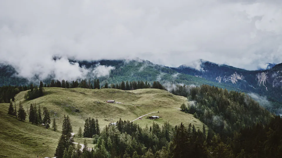
Germany’s highest paved through-road climbs 15.4 kilometres from around 800 metres near Berchtesgaden to 1,570 metres at its summit, with gradients up to 13 percent along the way. For roughly the final 1.5 kilometres near the top, the road actually crosses into Austria before returning to German soil.
It is privately operated and tolled: 9.50 EUR for a car, 6.00 EUR for a motorcycle, checked directly against the operator’s own site on 2026-08-04. The operator describes it as open year-round, though short closures for weather or maintenance do happen, so it is worth checking current conditions before a visit rather than assuming access is guaranteed on any given day.
The Nürburgring Nordschleife, Eifel

The Nordschleife is the 20.8-kilometre public section of the Nürburgring, 73 corners and roughly 300 metres of elevation change through the Eifel hills. It earned the nickname “the Green Hell,” widely attributed to Jackie Stewart after he won the fog- and rain-soaked 1968 German Grand Prix here.
Outside race events, the circuit opens for Touristenfahrten, public toll laps anyone with a road-legal car can drive: 30 EUR on weekdays, 35 EUR on weekends and public holidays, one lap at a time. The 2026 season runs from 7 March to an expected 15 November, weather permitting. Since the 2025 season, motorcycles have been excluded from the regular Touristenfahrten; the operator’s stated reason is the mismatch in how cars and motorcycles behave in traffic on a shared lap. Motorcyclists can still ride the shorter Grand-Prix-Strecke or book organized track sessions on the Nordschleife itself.
The Moselschleife and the Calmont, Mosel
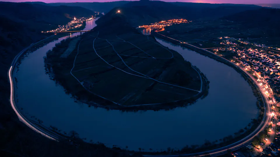
Near the village of Bremm, the Mosel river bends back on itself in a tight horseshoe, and the hillside inside that bend carries the Calmont, Europe’s steepest vineyard at up to 60 to 68 degrees of incline, confirmed by both the vineyard’s own site and Rhineland-Palatinate’s state tourism office. The valley road through Bremm is the B53, the Moselweinstraße; the climb up to the Calmont viewpoint itself runs via the narrower L106.
This is the gentlest entry on this list to drive, a river-valley road rather than a mountain pass, but the view from the viewpoint over the vineyard and the horseshoe bend below is hard to match anywhere else in the country.
The Harzhochstraße, Harz
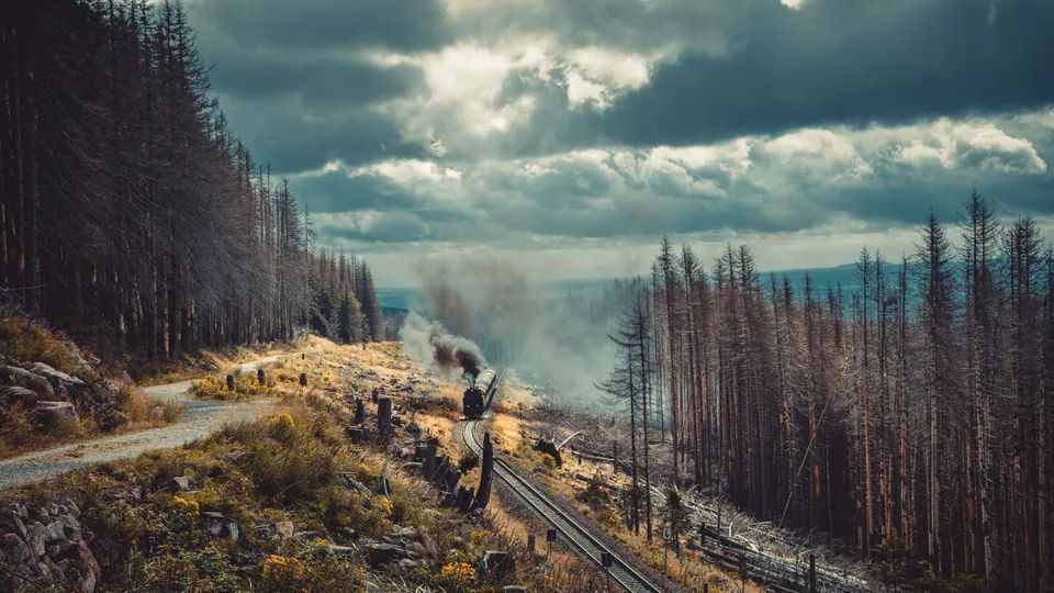
The B242 crosses the Harz uplands past Torfhaus, at roughly 812 metres the highest settlement in Lower Saxony, with clear views toward the Brocken, the range’s highest point at 1,141 metres. It is the least dramatic road on this list in terms of elevation and gradient, and that is part of its appeal: open highland forest, steady curves, and far fewer visitors than the Alpine entries further south. The narrow-gauge Brockenbahn steam railway climbs the same summit, visible from the road at several points, if you want a second way to reach the top after you have parked the car.
Nearby sections of the B242 see recurring, multi-week resurfacing closures in some years, though none was active as of this check. Confirm current conditions before relying on this road for a specific date.
Driving these roads with a route already loaded
None of these roads require a plan to enjoy, but several reward one, particularly the mountain passes, where a wrong turn costs real time. Krace imports a route from a GPX file or a Google Maps share link, or one can be built directly on a map inside the app, and lets you preview and simulate it before setting off. If you want to know more about how the underlying route file actually works, our guide to driving a GPX or Google Maps route covers the format itself and what to expect from the import.
Once a drive starts, Krace speaks rally-style corner callouts and retimes them against your current speed rather than a fixed countdown, which matters most exactly where several of these roads take you: mountain terrain where a phone signal can drop but GPS positioning does not depend on one. Krace is an assistance and entertainment aid. Its callouts can be wrong, late or missing, and none of that changes who is responsible for the car: observation, traffic law and the driver’s own judgment of the road, always.
Sources
- Landkreis Rastatt Tourismus: Schwarzwaldhochstraße
- Deutsche Alpenstraße, official site
- Oberjochpass, German Wikipedia
- Historisches Lexikon Bayerns: Deutsche Alpenstraße
- motorradonline.de: permanent motorcycle curfew at the Kesselberg
- Rossfeld Panoramastraße, official information
- Nürburgring: Nordschleife
- Nürburgring: Touristenfahrten 2026
- heise.de: end of Touristenfahrten for motorcycles
- Rheinland-Pfalz Tourismus: Europe’s steepest vineyard
- Harzer Tourismusverband: Torfhaus
From the Krace blog
Keep reading
How to Drive a GPX or Google Maps Route With Rally-Style Callouts
A route from a GPX file or a shared link is not yet a drive. Here is what the format actually contains and how to follow it by ear instead of by screen.
Rally Pace Notes Explained: How to Understand Co-Driver Calls
Pace notes turn the unseen road ahead into a compact spoken language. Here is how direction, numbers, modifiers and distances fit together.
What Is a Rally Co-Driver? The Job Behind the Pace Notes
The voice beside a rally driver does far more than call corners. Here is how preparation, pace notes, timing and teamwork fit together.